
IBISWorld Platform
Answer any industry question in minutes with our entire database at your fingertips.

Answer any industry question in minutes with our entire database at your fingertips.
Feed trusted, human-driven industry intelligence straight into your platform.
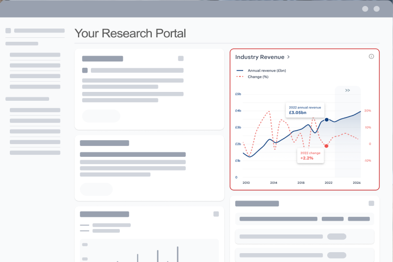
Streamline your workflow with IBISWorld’s intelligence built into your toolkit.
IBISWorld's research coverage on the Geographic Information Systems Software procurement and pricing environment in the United States includes market dynamics, buyer power scores, supply chain vendors with pricing trends and forecasts.
This procurement coverage of the Geographic Information Systems Software market in the United States includes Mapping, Spatial Intelligence and Statistical Analysis. Standard coding in this coverage includes ISIC-582-Software publishing, NACE-58.29-Other Software Publishing, NAICS-513210-Software Publishers and UNSPSC-43232510-Geographic information system.
Common market terminology included in the Geographic Information Systems Software procurement coverage includes Software-as-a-Service (A program hosted online and accessed using the internet. Buyers do not own the software, but they are licensed to use it as a service on demand.), Cloud Computing (The practice of storing, managing and processing data through hosted remote servers as opposed to local servers.), License (A permit or contract to access a supplier's software.), Network (A group of two or more computers linked together through a common server.), Sunk Cost (A cost that has already been incurred in its entirety and cannot be undone or recovered.), Augmented Reality (AR) (An interactive experience with a real-world environment wherein real-world objects are enhanced by computer-generated sensory information.), Virtual Reality (VR) (An interactive experience within an entirely computer-generated environment.) and Internet of Things (IoT) (A system of interconnected computing devices that are able to automatically communicate and share information with other devices in the network without human interference.).
The top companies covered in the Geographic Information Systems Software procurement report as suppliers are Textron Inc., GE Vernova Inc, Oracle Corporation, Bentley Systems Inc. and Pitney Bowes Inc..
The Opportunity Assessment chapter provides a comprehensive market analysis of the Geographic Information Systems Software market in the United States category, including buyer power scoring, market pricing trends, vendor landscape, cost structure, and strategic negotiation levers.
The market pricing trends include the Market Price (2026) per user per year, a five year price forecast and a supply chain risk score. Vendor coverage includes a market share and cost structure breakdown.
Analysis includes a comprehensive SWOT analysis of and recent developments impacting the Geographic Information Systems Software market environment.
The Buyer Power Score chapter assesses key components impacting Geographic Information Systems Software procurement including the recent price trend, forecast price trend, availability of substitutes, switching costs, product specialization, average vendor risk, market share concentration, supply chain risk, price driver volatility and recent price volatility.
These components generate a Buyer Power Score that ranges from -5 (strongly favoring sellers) to +5 (strongly favoring buyers) plus a recommended strategy for procurement specialists.
The Price Environment chapter covers detailed pricing analysis and datasets on Geographic Information Systems Software market environment. This includes insights into market pricing Market Price (2026), price forecasts, volatility, specialization, substitutes and switching costs.
Datasets in the Price Environment chapter include vendor cost structure, breakdowns of wage rates by geography and specialty, key external economic and labor drivers impacting the market and market pricing models.
The Supply Chain & Vendors chapter covers the concentration, risk and diversity of the Geographic Information Systems Software market. This includes datasets on the market’s top suppliers, detailed analysis on the key sourcing risks and supply chain dynamics, with environmental, social and governance (ESG) considerations and scores.
The Business Requirements chapter covers vendor relationships, qualifications, service level agreements and key performance indicators. These inputs provide insight into the planning process through the buying lead time, vendor relationship and vendor qualifications. The sourcing process include key RFP elements like an organizational overview, project budget, selection criteria, project schedule, proposal format, inventory control, cost containment, regulation, quality control, distribution and key contract clauses.
More than 6,000 businesses use IBISWorld to shape local and global economies
We were able to supplement our reports with IBISWorld’s information from both a qualitative and quantitative standpoint. All of our reporting now features some level of IBISWorld integration.

IBISWorld delivers the crisp business knowledge we need to drive our business. Whether it be serving up our major clients, winning new business or educating on industry issues, IBISWorld brings real value.

IBISWorld has revolutionised business information — which has proved commercially invaluable to exporters, investors and public policy professionals in Australia and overseas.

When you’re able to speak to clients and be knowledgeable about what they do and the state that they operate in, they’re going to trust you a lot more.

The 2026 benchmark market price for Geographic Information Systems Software is $790 per user per year. Prices have increased at a CAGR of 4.21 from 2023-26.
The top vendors in the Geographic Information Systems Software market include Textron Inc., GE Vernova Inc, Oracle Corporation, Bentley Systems Inc. and Pitney Bowes Inc..
The top industries supplying the Geographic Information Systems Software market are Computer Manufacturing in the US, Semiconductor & Circuit Manufacturing in the US, Data Processing & Hosting Services in the US, IT Consulting in the US, Intellectual Property Licensing in the US and Law Firms in the US.
High market share concentration sharply limits buyers’ negotiation leverage. With Environmental Systems Research Institute Inc. controlling over 40% of the GIS software market and a few top firms holding most of the remaining share, buyers must navigate significant vendor power. This consolidation reduces the ability to pit suppliers against each other for lower pricing or improved contract terms. To manage limited leverage, buyers should focus on driving value through long-term partnerships, requesting tailored service-level agreements, or exploring specialized add-ons rather than expecting significant cost concessions.
Features such as advanced analytical capabilities, user-friendly interfaces, and integration with other data sources significantly affect GIS software pricing, with more complex systems commanding higher prices due to their enhanced functionality. For instance, software that offers real-time spatial intelligence and robust statistical analysis tools is often priced at a premium, reflecting the added value these features provide to government agencies and national security institutions.